Map
Posts that include a map or are about mapping
South Lake Tahoe Caldor Fire Timelapse
Sentinalhub Playground is an excellent resource for near real time, albeit not quite google earth 1m resolution, satellite images. One of the cool features is being able to adjust the mapping of the satellite bands to RGB outputs. For example, using Sentinel-2 L2A image data of South Lake Tahoe between 2021-08-17 and 2021-09-01 and remapping the 2190nm (SWIR2) to red, which tends to highlight fires though isn’t thermal, 783nm to green, a vegetation band (though it is NIR to humans) to make vegetation cover more obvious, and 443nm to blue instead of 490nm as shorter wavelengths tend to be scattered more by aerosols and smoke the fire line (bright red) and smoke (obvs) is very visible while vegetation is (false) green. Burnt earth shows as dark red, compared to bare ground, which tends to show tan in this mapping, thus revealing the current line of fire, the recently burned areas, and the wind direction carrying smoke, which tends to correlate with the advancing line, and fuel (vegetation) still standing.
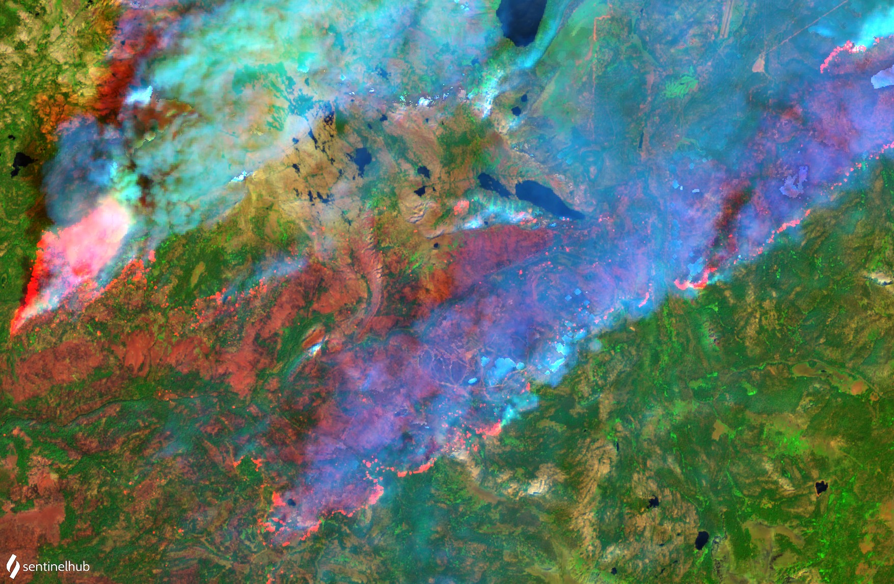
Then using the history controller to generate and save a sequence of stills, we can animate the progress of the fire with a simple FFMPEG command:
ffmpeg -framerate 1 -pattern_type glob -i '*.jpg' -vf crop=1754:1146 -c:v libx264 -r 30 -pix_fmt yuv420p fire.mp4
and you get:
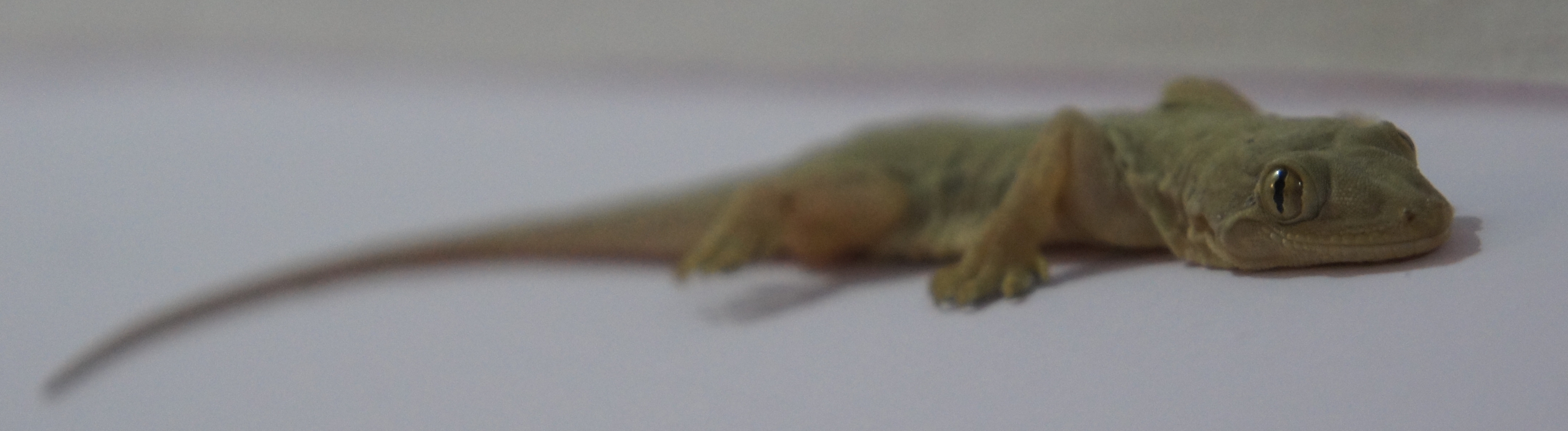
Lizard Visit
A New animal visitor came by today.
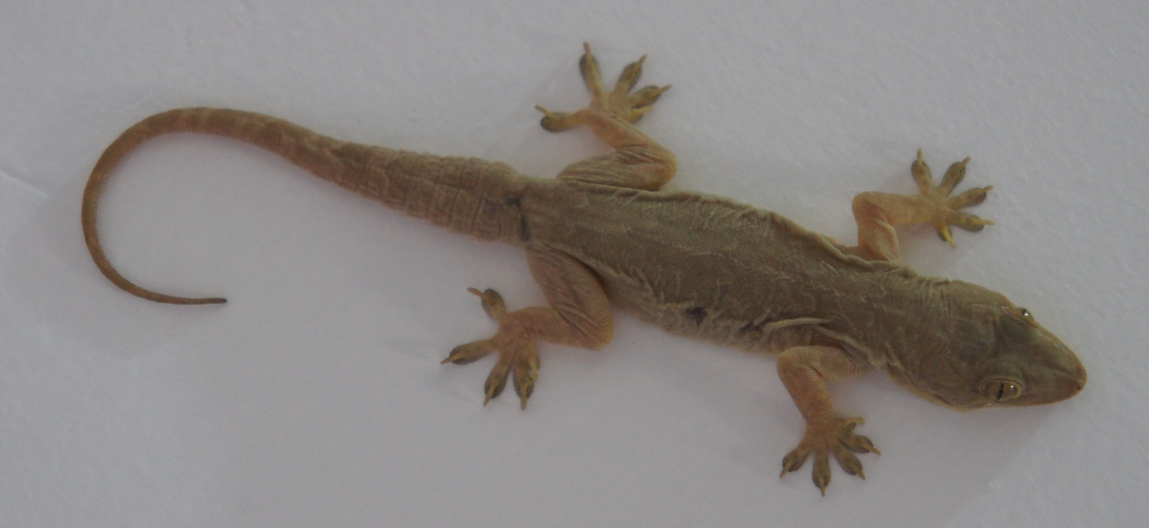
Just hangin’
Visiting the Burj Khalifa
Dubai is an interesting contrast to Iraq. The first time I went through DXB from BSR it was more than a little culture shock. Getting out of the airport only amplifies the experience.
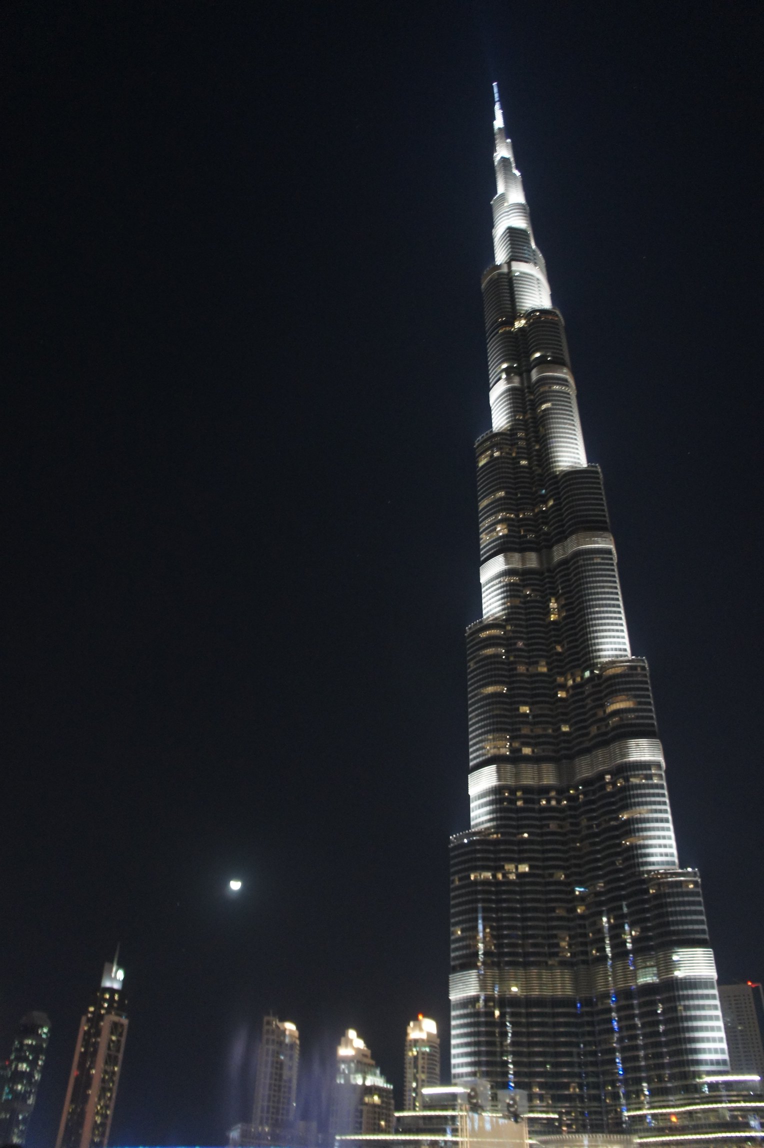
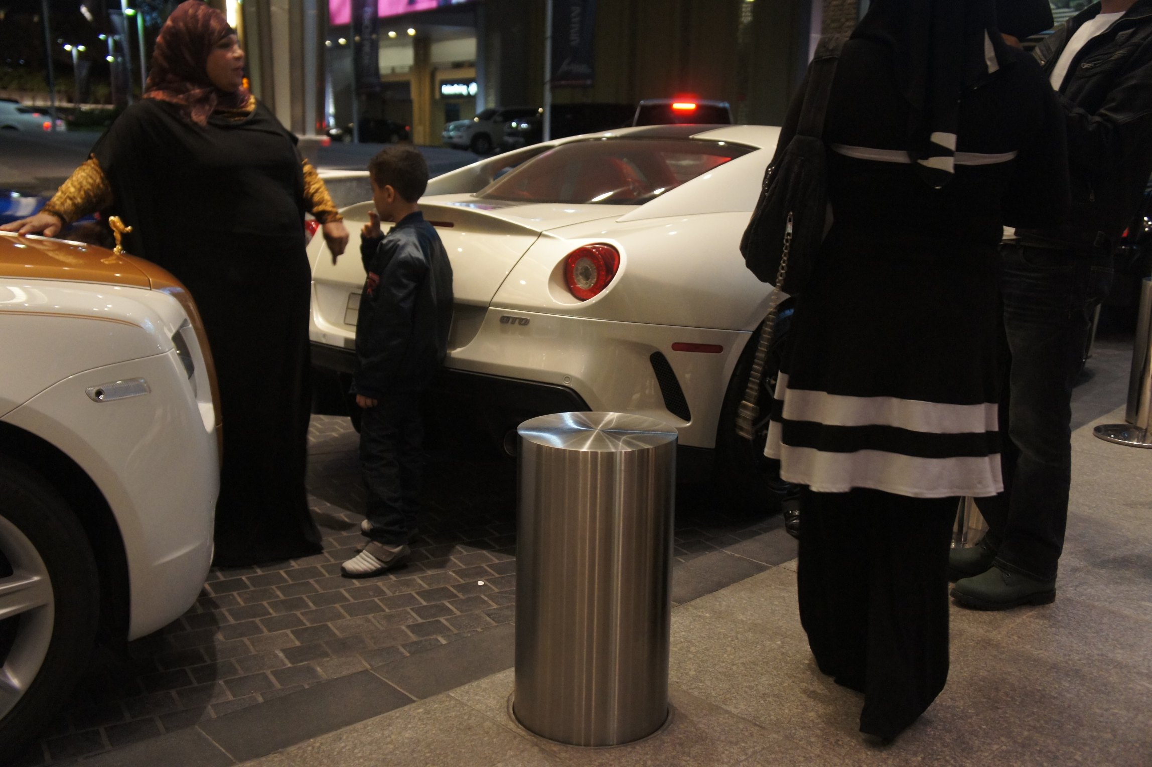
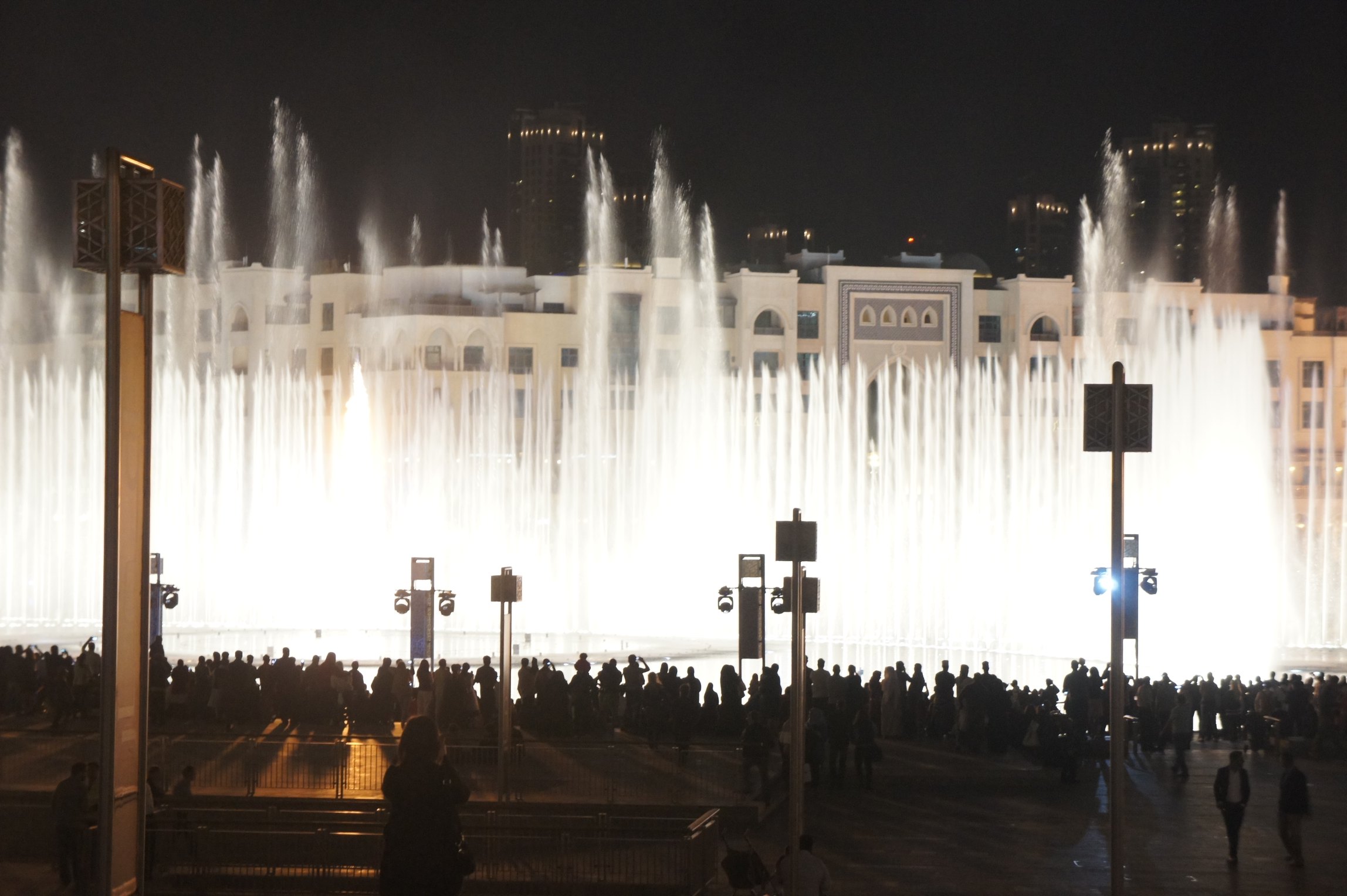
Jared and I had dinner at the Mall of Dubai and before eating had a little walk around the fountains – the largest dancing fountains in the world at the foot of the tallest man-made structure in the world.
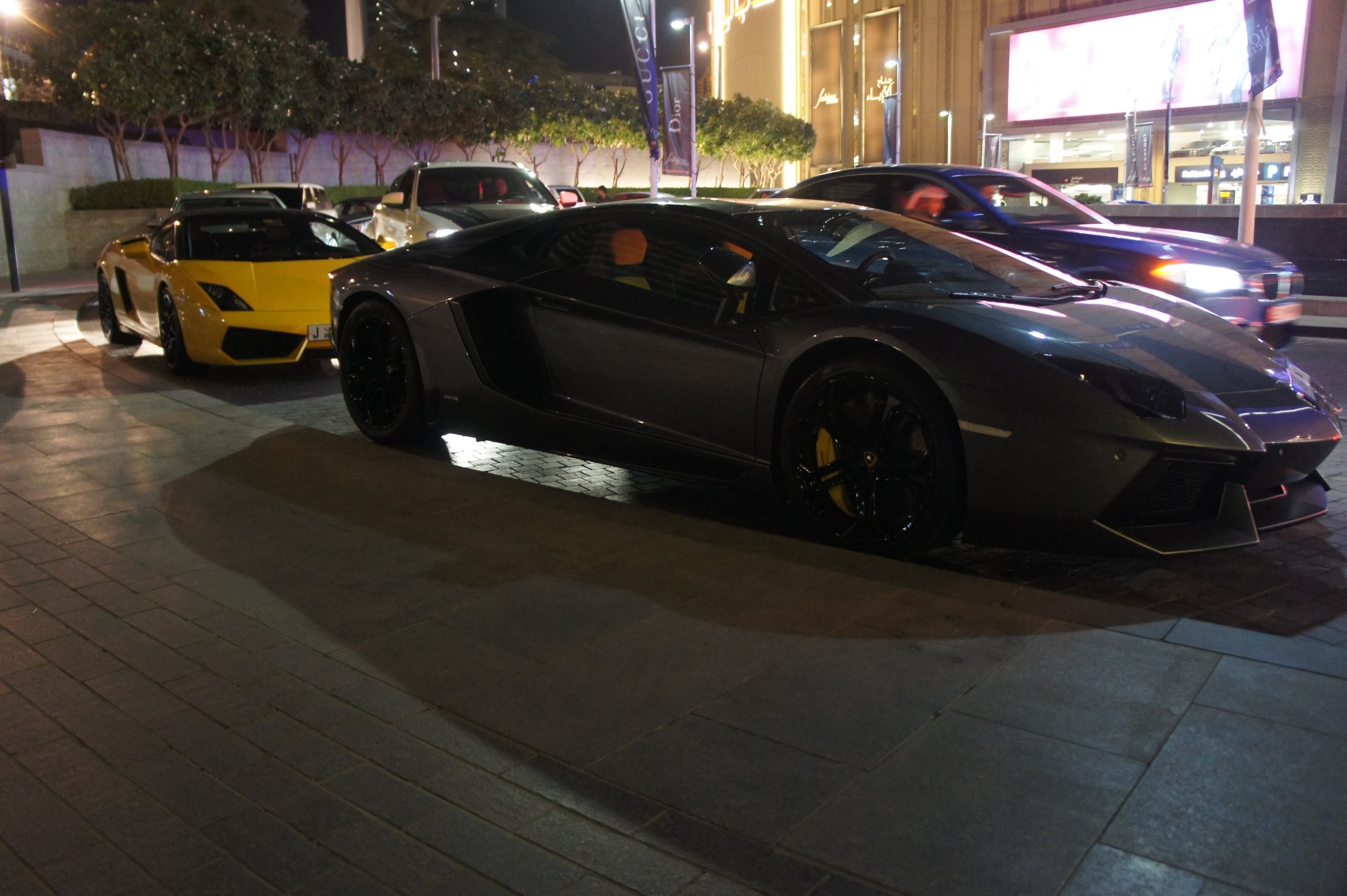
Dubai is an good place to spot cars. Obviously the gold accented rolls is more pose-worthy than the $450k GTO. Then again they were probably posing with the license plate number which I think was 1, and therefore cost as much as 20 Ferrari GTOs.
Google Street View ReflectoPorn
Google drove past our little village in Italy and caught themselves in the turning mirror just about perfectly.
The coverage they have is getting pretty impressive.

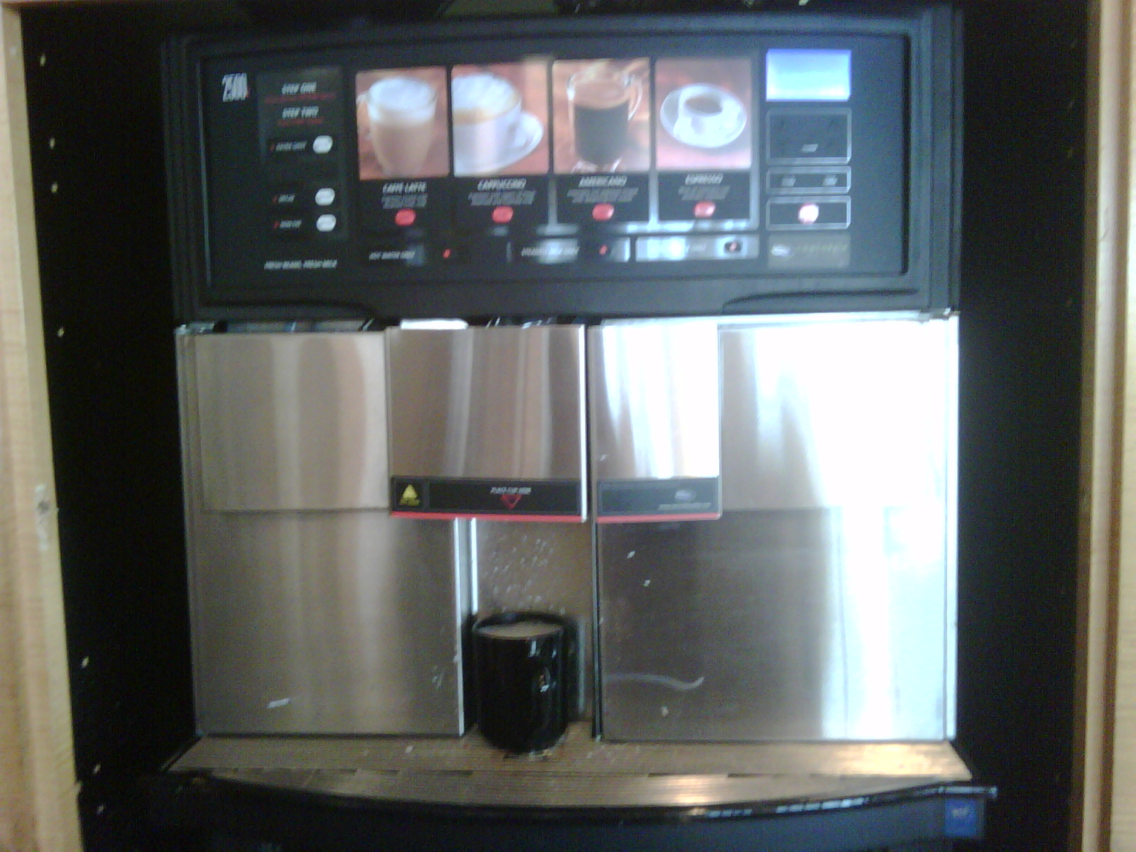
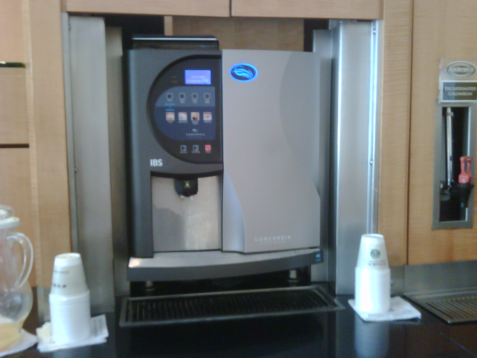
New Espresso Machine @ LAX RCC!
Yay! Tastes like coffee even. Finally, real coffee-based espresso drinks rather than RealCaughfee industrial powder based reconstituted hot beverages. This is a huge improvement. One side has a Concordia IBS, the other side has a 2500i. Both are good. Both have a double shot option. I am now wired for the day.
Cool Tracking Technology
Instamapper.com was a pretty cool solution (until the end of 2012). Nothing radically novel in concept, but it does pretty much just work and with most devices with a GPS.

It’s a little different from Google Latitude, which has a social aspect (your friends) but no history. Latitude is built into Google Maps Mobile 3.0, so everyone will have this on their phone in a few days. That’ll be weird fur sure.
Amazingly I downloaded this app this morning at 3.0.0, by the time I’d told a friend about it the release was 3.0.1, and the last person I told got 3.0.2. I guess Google is excited about this one.
Bit by a dog!
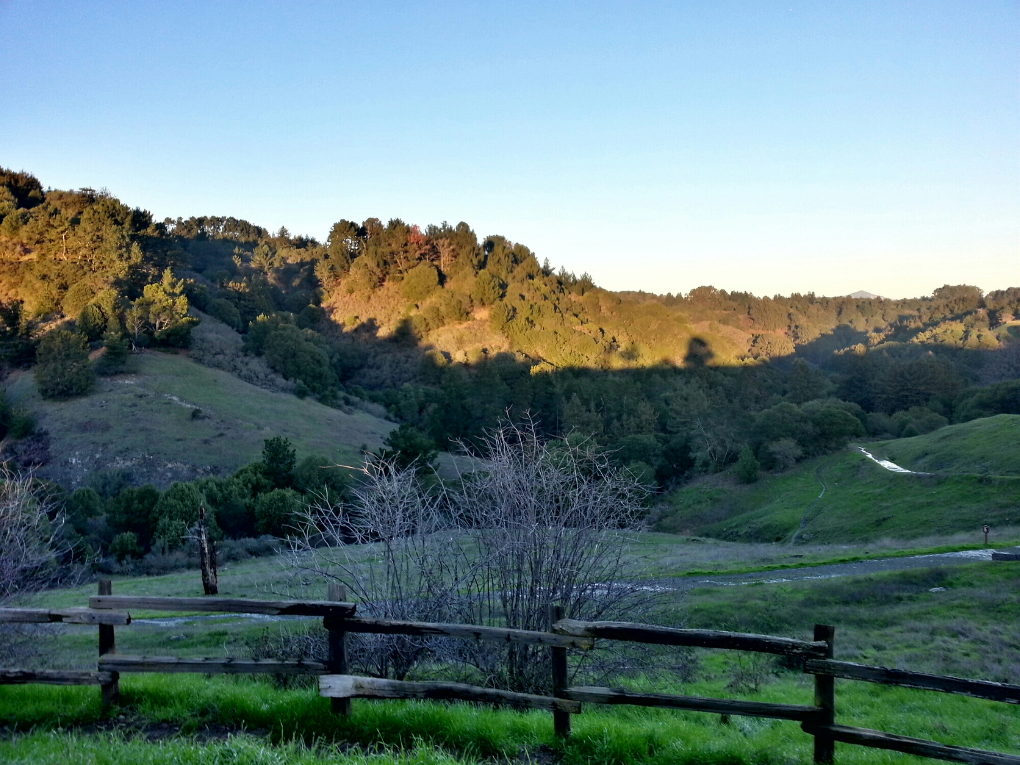
I was running up in Redwood Regional Park today and this very hippy couple in brightly colored hand woven South American fabrics came along the trail the other way with three dogs. Two passed in typical dog-like manner. But the last, a floppy moppet of a white spaniel or something comes running by and bites my leg on the way.
I thought at first it was just a smack and went on my way, but then I saw blood drooling down my leg, mixed with dog drool, so I ran back to the couple to make sure the dog’s shots were up. They didn’t even offer their names, which suggests to me that they were probably from Berkeley because it seemed more like Presumed Entitlement than Attitude, which would have suggested Oakland provenance. I had just started a 5.25 mile run and didn’t want to stop and deal with it, so floppy gets to bite another day.
In the end it doesn’t feel too bad, a couple of cuts on the bony side and one little puncture on the chewy side. The picture is after about an hour of running and then driving home and washing it off, but it did look butch with a rivulet of blood running down my shin and coloring my sock.

Hi from San Miguel